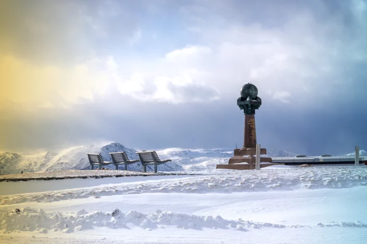
The 3,000 km Long Monument That Proved the Earth’s Shape
The Struve Geodetic Arc is a network of triangulation towers spanning Scandinavia to the Black Sea. They made it possible to take the first accurate measurement of a meridian arc.
0 Comments
