
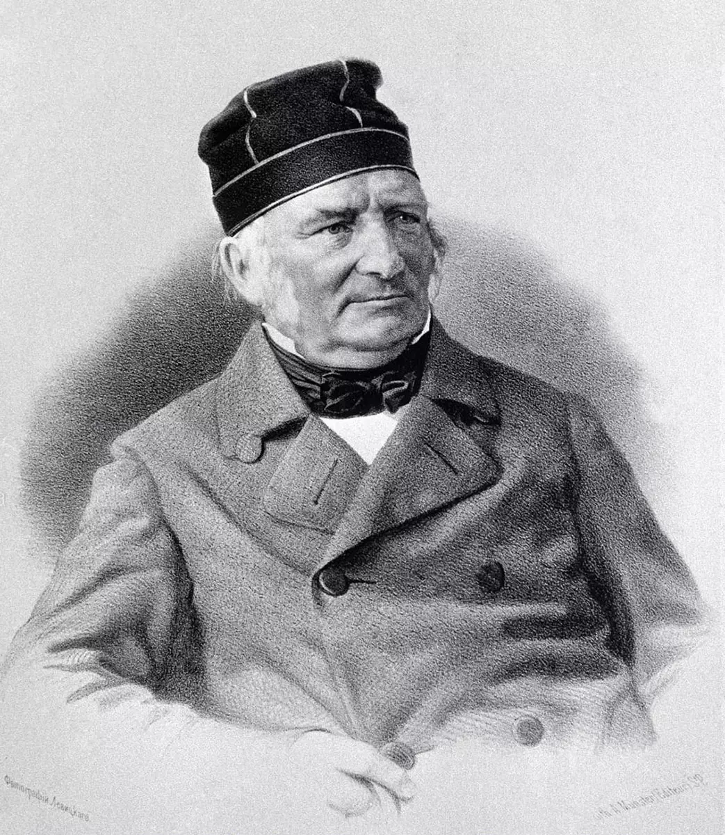
They say that God’s curse after the Tower of Babel introduced the differences among people to stop them from undertaking another great project. Therefore, it is rational to begin every effort from the first step: uniting people and nations. Such was an idea by Friedrich G. W. von Struve, a German-born Russian astronomer and geodesist.
The Baltic German scientist embarked on a quest to determine the shape of the Earth by measuring the meridian arc. People had already known the length of the Equator for centuries. However, what was not so clear at the time was whether our planet was perfectly round or rather shaped more like a disc.
Struve Geodetic Arc to revolutionize geography
Finding definitive proof would depend on the length of the north-to-south meridian arc. In other words: exactly how far is it from the North Pole to the South Pole? That’s what Struve was after.
He would create an arc to find out – a line of survey triangulations spanning from the north of Norway to the Black Sea. These surveys, one next to each other, were carried out between 1816 and 1855. The researchers erected 258 triangles spanning a distance of 2,820 km to enable the geodesists to collect specific measurements.
At the time Struve carried out his research, there were only three countries along the way: Norway and Sweden in the north, and the rest in the Russian Empire. Today, with 34 of the original sites classified as heritage sites, the line passes through a total of ten countries.
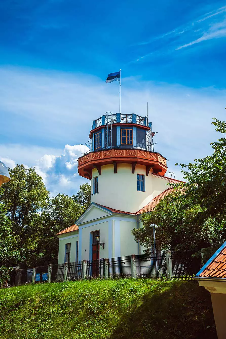
The surveys begin in Norway, Sweden, and Finland, then move south to Russia and to republics that used to belong to its territory. The first of them was in Estonia at the Tartu Observatory, where Struve carried out most of his research. Then the line goes further south through the rest of the Baltic countries: Latvia and Lithuania, then through Belarus and Ukraine to Moldova, where it hits the Black Sea.
The Tartu Meridian
Almost all the countries lie along the Meridian of Tartu, 26 degrees 43 minutes East. Technically, Moldova is just east of the line, as the Tartu meridian goes through Romania, but the research was conducted on Moldova’s territory. There lies the southernmost point of Struve Geodetic Arc: Staro-Nekrasovka.
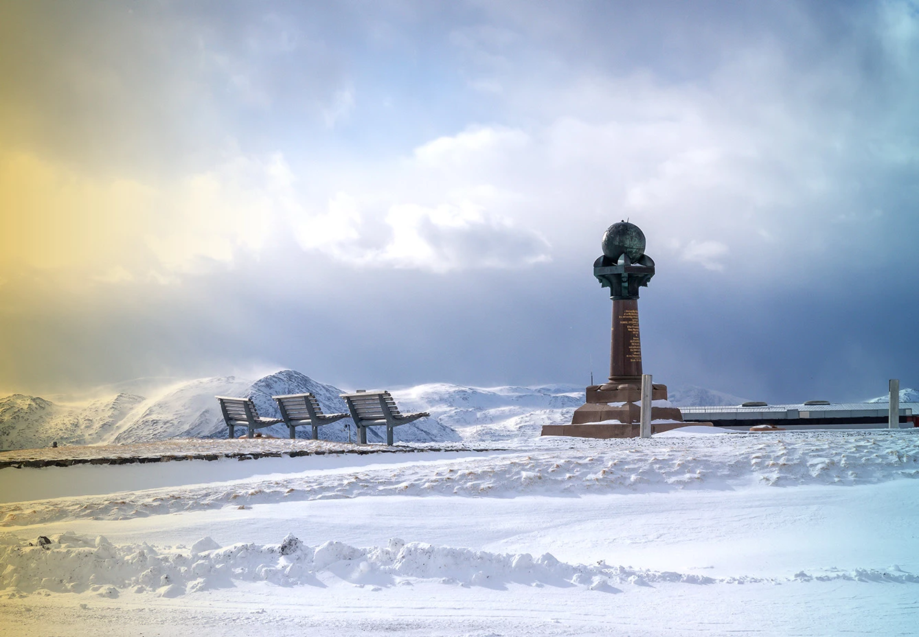
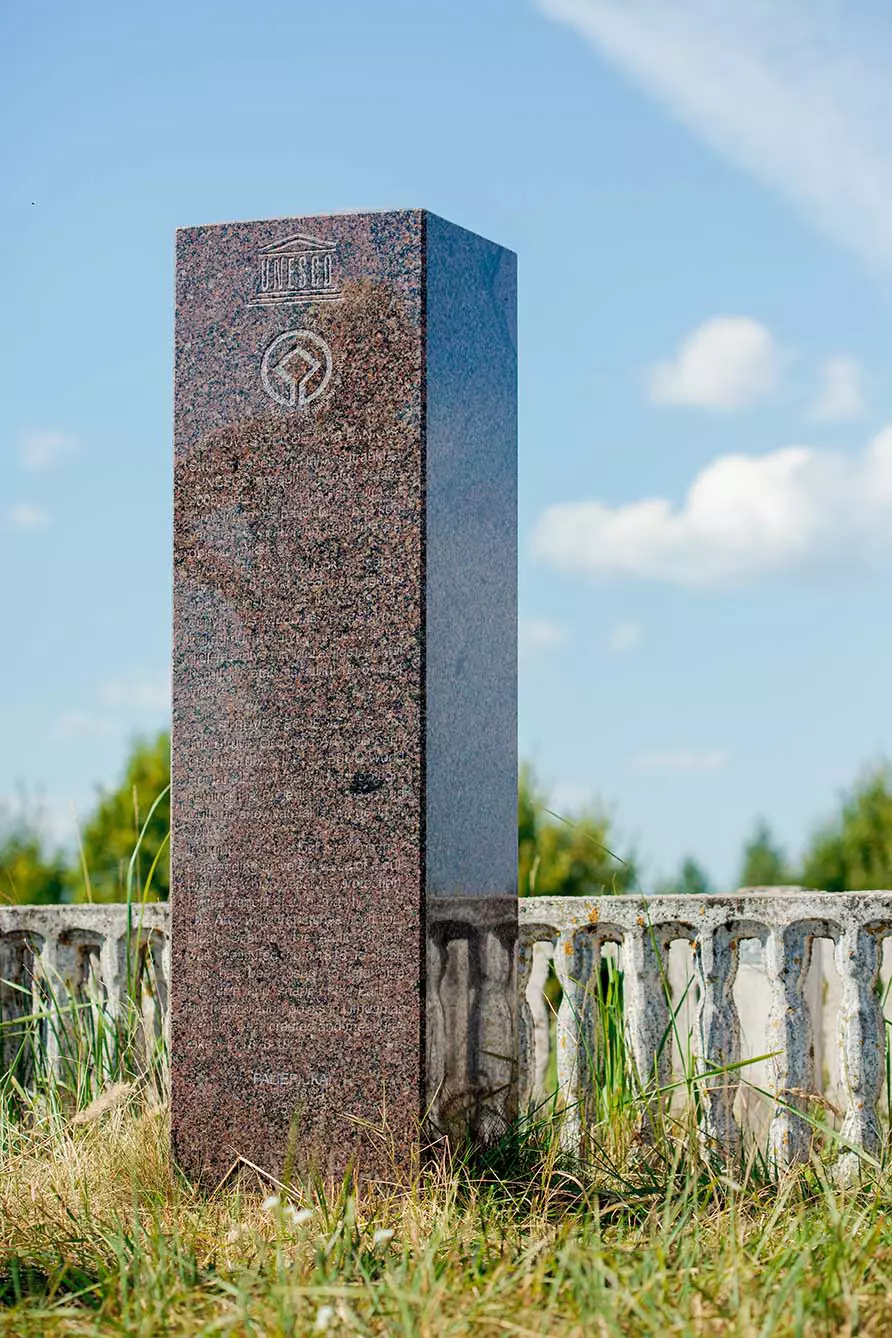
Currently, 34 of the original survey sites are commemorated in various forms: some are obelisks, some are rocks with holes drilled in them, and some are iron crosses. However, the main monument is formed by all of them together: a monument that the Unesco World Heritage List claims is an “extraordinary example of scientific collaboration among scientists from different countries and collaboration between monarchs for a scientific cause.”